gis
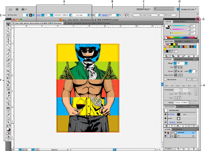
Adobe Illustrator is a vector graphics editor program. If you have not used Illustrator it’s a good idea to familiarize yourself with the tools panel, their different functions, and the workspace basics:
Some Useful Shortcuts:
- Ctrl + C = Copy
- Ctrl + V = Paste
- Ctrl + Z = Undo
- Ctrl + A = Select All
- Ctrl + G = Group Objects
- Ctrl + Shift + G = Un-group Objects
- Ctrl + + = Zoom In
- Ctrl + - = Zoom out
- Directional Arrows = Nudge Object
IMPORTANT REMINDERS:
- NEVER re-scale map with the aspect ratio unlocked
- NEVER re-scale map(s) without selecting and simultaneously re-scaling the scale bar (otherwise the scale bar will be completely irrelevant to your map!)
A Guided Tour of Building a Basic Figure in Adobe Illustrator After Exporting out of ArcMap:
In the video below, Martha walks us through how to bring in the data we exported out of ArcMap (see 3. Use ArcGIS ONLY for Making Figure Building Block) and build a basic figure in Adobe Illustrator.
A Quick Tour of Some Useful Shortcuts & General How To’s:
This sequence of videos from Sara walks through the basics of using Adobe Illustrator, how to add some stylistic touches, and assembling multiple components together.
Adobe Illustrator - The Basics
Adding Some Stylistic Touches to Your Figures:
Adobe Illustrator - A Better Figure
Assembling a Figure Made Up of Multiple Maps & A Table:
Adobe Illustrator - A More Complex Figure
←Back to 4. Gather Up Your Other Figure Components Ahead to 6. Export the Final Figure & Put Where Needed →