
High Resolution Imagery for Utah State
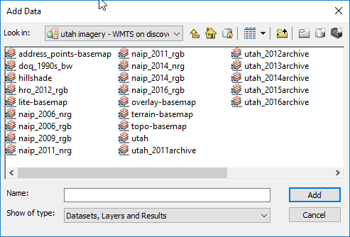
For USU students and employees, the State of Utah has acquired access to high resolution imagery. They are only accessible when on campus or using a VPN. The data is served by Utah’s AGRC. Below are the links set up for USU. A variety of layers are available:
WMTS link:
To connect as a web mapping tile service in any GIS (see video below for how to in ArcGIS), use:
https://discover.agrc.utah.gov/login/path/escort-bless-college-felix/wmts/1.0.0/WMTSCapabilities.xml
WMS link:
To connect using a web mapping service, use:
https://discover.agrc.utah.gov/login/path/escort-bless-college-felix/wms
Web browser viewer link:
To just have a preview in a browser of some of the imagery:
https://discover.agrc.utah.gov/login/path/escort-bless-college-felix/tiles/utah/preview
Web browser download link:
To physcially download the tiles, use:
https://discover.agrc.utah.gov/login/path/escort-bless-college-felix/footprint/utah/preview